Network Capacity Map User Guide
Disclaimer
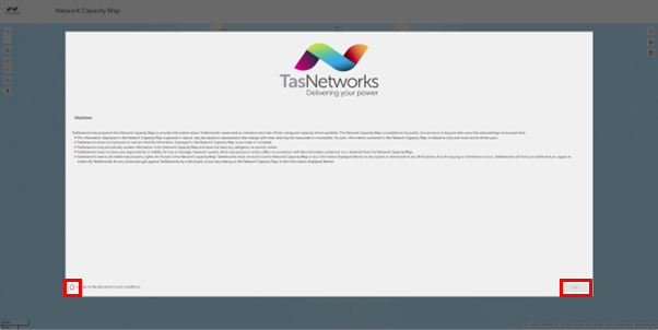
TasNetworks has prepared this Network Capacity Map to provide information about TasNetworks' assets and an indicative estimate of their rating and capacity where available. The Network Capacity Map is available to the public, but access to it requires that users first acknowledge and accept the disclaimer.
Click the check box at the bottom left of the pop up and click the OK button.
Search for a known location
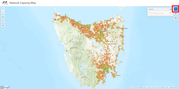
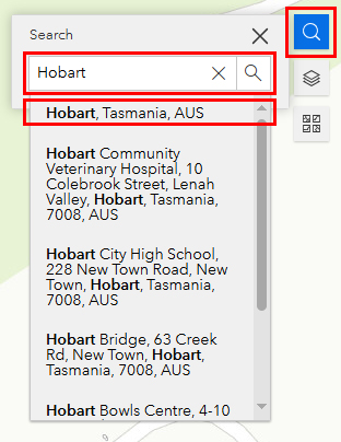
You can use the Search facility provided in the top right corner of the map to enter and search for a town or an address.
Layers
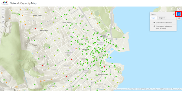
Once your area of interest is found, you can select the features you wish to have represented on the map using the Layers tool on the toolbar.
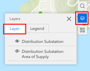
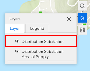
Distributions Substation Layer
 is the symbol for a Distribution Substation. A distribution substation is where the distribution network is stepped down to Low Voltage (LV) levels (230V – 400V) for supplying most houses and businesses.
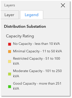
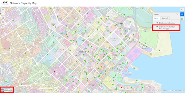
On the map, the Distribution Substation symbol is coloured by percentage of distribution substation load capacity estimated to be available.
Distribution Substation Details
Clicking on the Distribution Substation symbol will provide the information below:
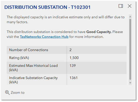
Number of Connections: The number of NMIs connected to this Distribution Substation
Rating: The capacity rating of the transformer at this Distribution Substation.
Estimated Max Historical Load: The estimated maximum load recorded at this Distribution Substation.
Indicative Substation Capacity: The estimated indicative remaining capacity at this Distribution Substation.
Distribution Substation Area of Supply Layer
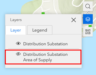
This layer is a useful tool for identifying the Distribution Substation that supplies the land parcel of interest.
This layer can be enabled by at viewing resolutions <1km.
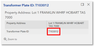
Clicking on one of the land parcels will produce a popup that shows the Distribution Substation which supplies the connection at that address:
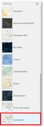
Basemap Layers
Various basemaps can be added and viewed from the toolbar on the right of screen.
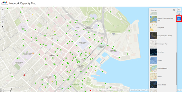
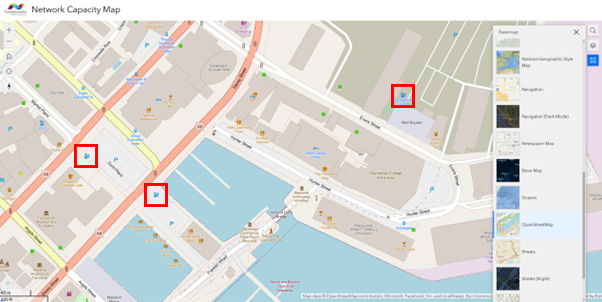
The Network Capacity Map is defaulted to display the Topographic basemap shown, as shown above.
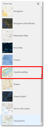
Depending on the application, you may prefer to use the OpenStreetMap basemap – this basemap shows additional points of interest including existing EV Chargers and Car Parks, as shown below.
Zoom
The zoom function is available on the top left of the map.
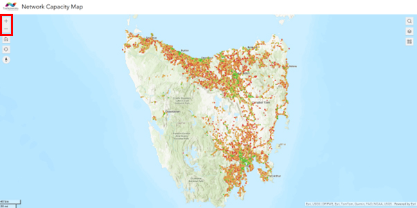
Some items will not appear or be greyed out at certain levels of zoom, and will only appear when the map is zoomed in.
For example, the Distribution Substation Area of Supply layer is only available at resolutions of <1km.